


AI-Powered Digital Public Infrastructure for Agriculture with Services to Farmers, Officers, and Policy Makers with Plot-to-State Level Monitoring
India
Agriculture
Implementing Organisation
Vassar Labs IT Solutions
India, Telangana, Hyderabad
Implementing Point of Contact
Nikhilesh Kumar
Co-founder and CEO
Contributor of the Impact Story
Carnegie India
Year of implementation
2023
Problem statement
Farmers and agriculture departments across India face persistent challenges due to fragmented data systems, limited real-time field visibility, and delayed advisory services. Critical decisions related to sowing, irrigation scheduling, pest and disease management, and extreme weather preparedness are often based on incomplete or outdated information. Traditional manual monitoring mechanisms are resource-intensive, slow, and unable to provide plot-level insights at scale, leading to avoidable crop losses, inefficient input use, and reduced farm incomes. In Kerala, these challenges are further compounded by diverse cropping patterns, climate variability, and the need for rapid response to floods, droughts, and pest outbreaks. Farmers also struggle to access timely scheme benefits, soil testing services, market price intelligence, and trusted buyer linkages. To address these gaps, KATHIR creates an AI-powered Digital Public Infrastructure for Agriculture that integrates remote sensing, GIS, IoT, predictive analytics, and GenAI. It enables unified farmer and farm data, plot-level advisories, pest forewarning, irrigation intelligence, crop loss assessment, and market connectivity, ensuring resilient, efficient, and inclusive agricultural service delivery.
Submission Overview
Vassar Labs is an MIT alumnus founded climate tech company. We leverage technologies such as AI, GIS, IoT, Cloud Computing, Remote Sensing, Big Data, and Digital Twins to build solutions for effective monitoring and management of Water, Energy, Disaster, Agriculture and Smart Cities. Wherein our key focus involves building scalable digital public infrastructures that are interoperable and cloud agnostic. Founded in the year 2014, our innovative approach integrates a range of advanced technologies. This allows us to develop real-time digital twins for weather and water systems, providing solutions that are forward-looking and impactful. In the past 10+ we have developed Decision Support Systems, spanning across country, state, river basin, city, and village scales, utilizing a multidisciplinary approach. These Systems integrate remote sensing technologies, weather data, land surface physics, IoT sensors, crop models, hydrology, hydraulics, consumption models, demand models, and machine learning. The systems provide real-time simulation of water and agriculture systems, addressing critical needs such as water availability, demand estimation, distribution optimization, irrigation scheduling, flood forecasting, reservoir release management, hydropower optimization, and drought prediction. Vassar Labs serves a diverse range of global clients, spanning from Government agencies at Federal and State Governments, local municipalities, and Fortune 500 companies to esteemed international organizations like the World Bank, UNDP, and ADB. Our clientele encompasses river basin authorities, hydropower generators, disaster management agencies, insurance companies, and irrigation OEMs/SIs. Furthermore, we collaborate closely with esteemed institutions such as the National Ground Water Boards, Multilateral Banks, ULBs, Research Institutions and Command Area Development Authority, delivering tailored solutions to meet their unique challenges effectively. Vassar Labs has implemented over 30+ large-scale global deployments, guided by our mission to leverage emerging technologies for sustainable development and climate adaptation.
AI Technology Used
Key Outcomes
Efficiency & Productivity
Access & Reach
Resilience & Risk Reduction
Accuracy & Quality Improvement
Resource Efficiency
Inclusion & Equity
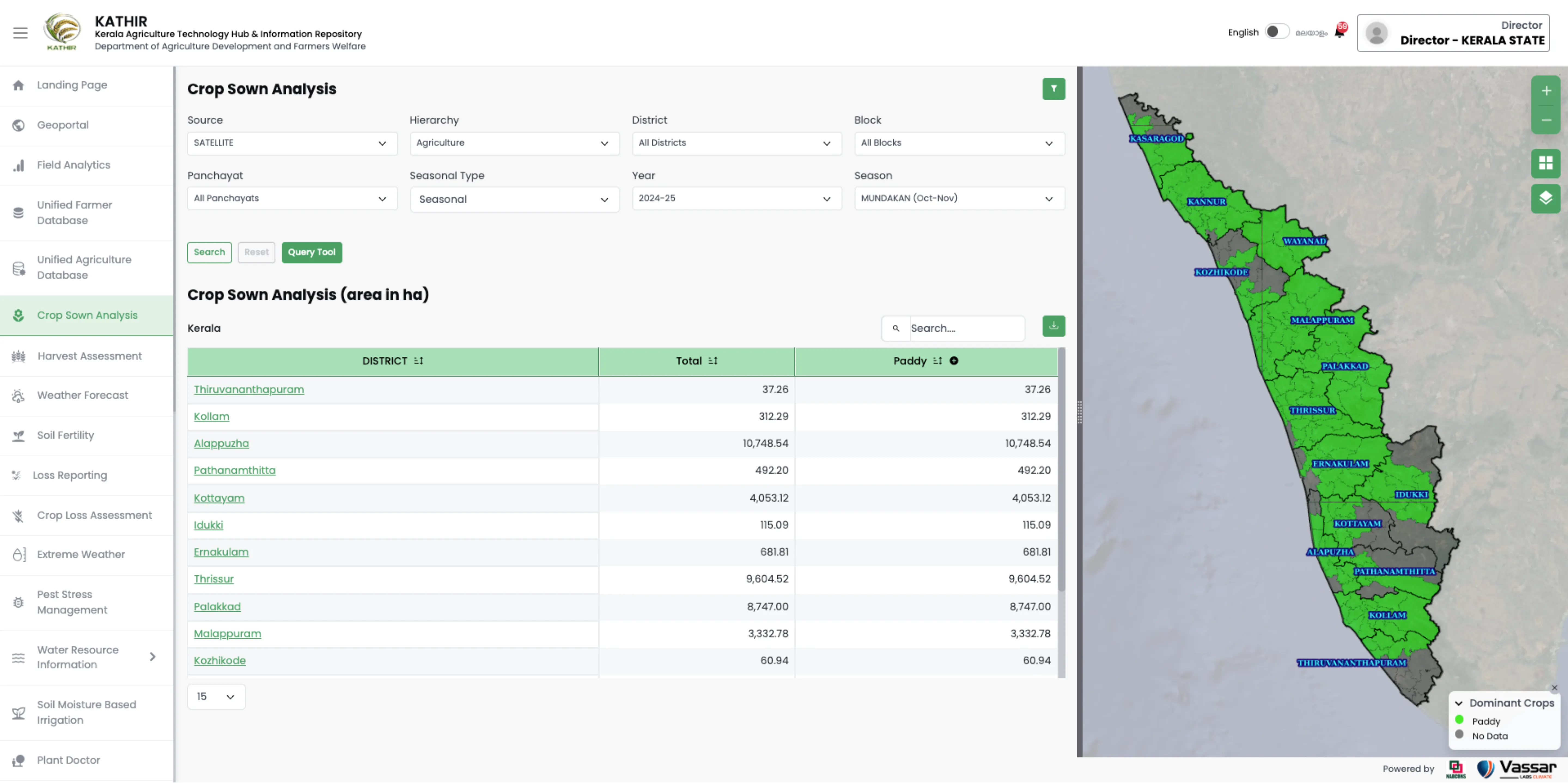
KATHIR is a digital public infrastructure platform that brings satellite-based, plot-level intelligence to farmers and policymakers to enable better decision making in the agricultural sector. The system has onboarded more than a million farmers and digitised millions of farm plots using AI-based boundary extraction. Users have access to real-time advisories via WhatsApp, mobile apps and web interfaces. KATHIR provides a unified system that brings together fragmented data to enable timely responses to sowing schedules, irrigation needs, pest outbreaks, and crisis management in extreme weather events.
Impact Metrics
Farmers onboarded onto KATHIR and farms digitized with satellite-based plot boundaries, digital access to ecosystem users including farmers, department officers, market players, policy makers, and farmer producer organizations (FPOs)
Baseline Value
Traditionally, there has been fragmented agriculture and farmer data, with no plot level access to agriculture insights, no digital access, and monitoring of plot-to-state agriculture insights and operations Users/Farms
Post-Implementation
More than 13 lakh farmers have been on-boarded onto KATHIR and millions of plots have been digitized using AI-absed boundary extraction. Additionally, ecosystem users have been provided access to plot-level advisories via WhatsApp, mobile, and Web apps. Users/Farms
Implementation Context
Kerala, India
Rural farmers, farmer producer organizations (FPOs), agriculture officers, and underserved farming communities. In particular, 30 lakh+ farmers, 10k+ department officials in Kerala with mobile, web, and WhatsApp access.
Key Partnerships
Agriculture Department in the Government of Kerala, KABCO, NABCOS, Microsoft Azure ecosystem partners, soil testing labs, market and input service providers
Replicability & Adaptation
There is a need to customize crop/pest libraries, integrate local schemes and market data, and align with state-specific workflows and language support.
* The data presented is self-reported by the respective organisations. Readers should consult the original sources for further details.